Maps in the Digital Age From Paper to GPS

42.75

Mapping has moved far beyond folded road maps. This guide breaks down how digital mapping tools work today, including GPS, satellite imaging, and data layers that power everything from ride-share apps to disaster response.

Category:

Description

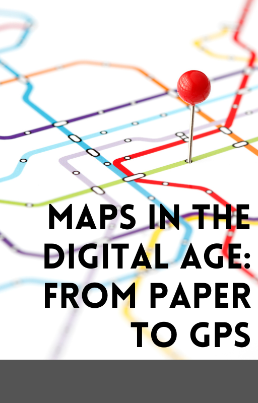
Maps have evolved from static paper charts to dynamic, interactive tools powered by satellites and real-time data. This guide explores the transformation of mapping technology—from ancient maps and atlases to GPS navigation, digital overlays, and location-based services.
Learn how digital maps shape how we travel, plan, and understand the world around us.

Reviews

There are no reviews yet.

Be the first to review “Maps in the Digital Age From Paper to GPS”

Your email address will not be published. Required fields are marked *